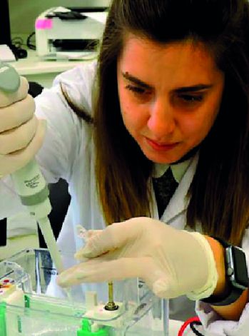
María Virginia Mackern Oberti is a surveying engineer who studied Surveying at the Faculty of Engineering of the National University of San Juan, located in Argentina.
After completing her academic training, Mackern developed her scientific career in the province of Mendoza, as part of various academic and scientific institutions.
Regarding her scientific contributions, Mackern has carried out research focused on satellite techniques, terrestrial atmospheric products, climate modeling, and GPS meteorology, among others.
Mackern and her relationship with science
Mackern is a surveying engineer. Surveying can be defined as the discipline responsible for determining point positions, delimiting surfaces, and measuring areas. Throughout her career, Mackern has worked both as a researcher and a professor, especially in relation to geodesy and space geodesy.
While Geodesy studies the dimensions of the Earth, Space Geodesy aims to determine coordinates based on artificial satellites, among other sources.
In connection with this science, Mackern has made contributions on the estimation of coordinates and atmospheric parameters. To this end, she has used GNSS measurements — that is, the Global Navigation Satellite System.
Mackern’s contributions
In terms of her professional path, Mackern is connected with various institutions. Among them, she works as a professor at two institutions in Mendoza: the Juan Agustín Maza University and the National University of Cuyo.
In addition to her teaching role, Mackern is a researcher at both universities, as well as at the National Scientific and Technical Research Council (CONICET).
At CONICET, the Argentine engineer focuses her research on water vapor in the troposphere and its respective content. This institute is dedicated to environmental science, especially the knowledge and documentation of glaciers.
Mackern is also part of the Special Training and Computer-Aided Engineering Development Institute (CEDIAC), which belongs to the Faculty of Engineering at the National University of Cuyo.
CEDIAC aims to develop projects and studies within the field of computer-aided engineering for application in problem-solving.
Furthermore, at the Juan Agustín Maza University, Mackern is the director of the Mendoza Argentina Engineering Center (CIMA), which seeks to generate contributions in the fields of geodesy and meteorology.
Mackern’s contributions
In addition to her work as a professor and researcher, Mackern is also the head of the Research Group applied to Geodesy and Georeferencing, part of the Faculty of Engineering at the National University of Cuyo.
The group’s objective is to develop research focused on satellite geodesy, especially in topics related to geodynamic and atmospheric monitoring.
Likewise, the Argentine engineer was a member of the Executive Council of the Geocentric Reference System for the Americas (SIRGAS).
SIRGAS is an organization that aims to gather information through the establishment of the geocentric framework known as SIRGAS.
Mackern is also a member of the International Association of Geodesy (IAG), which is linked to SIRGAS.
The IAG is an international scientific association that seeks to promote the development of geodesy and conduct research focused on geodetic theory.
The Argentine engineer has conducted research on the GNSS network, studies in Argentina and Latin America, and has participated in various scientific events related to different disciplines, such as geodesy, surveying, and the natural and exact sciences, among others.
The development of surveying
The development of surveying — not only in Argentina but also internationally — is related to issues such as land and property planning, land studies, and territorial distribution.
In relation to meteorology — the science responsible for studying atmospheric phenomena — surveying aims to contribute to environmental preservation.
In this regard, surveying seeks to reduce environmental risk, create efficient evacuation models, and plan cities with the least possible environmental impact.
With regard to the development of Earth sciences and studies related to the atmosphere and meteorology, Mackern is one of the researchers contributing to these fields in Argentina.
The development of such studies involves not only the use of the GNSS network in Argentina and Latin America but also knowledge of the atmosphere, its components, and climate change.
Throughout her career, Mackern has contributed to the development of geodesy, especially space geodesy. Alongside her research, the Argentine engineer generates valuable information about the Earth and the atmosphere, especially the troposphere.


