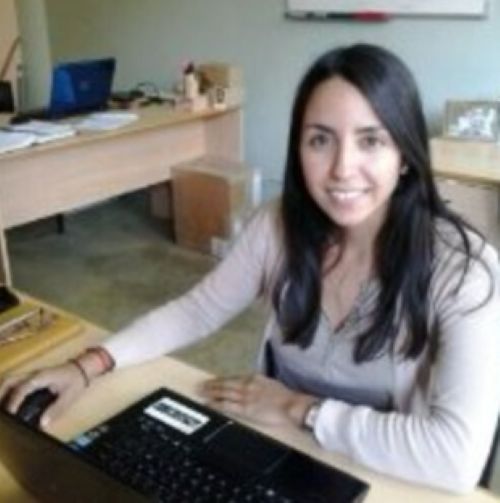
María Fernanda Camisay is a researcher with a PhD in Chemistry from the University of Buenos Aires. Camisay focuses her research mainly on topics related to Geomatics, Topography, and Geomatics Engineering.
The Argentine researcher remains connected to various academic and scientific institutions, specifically located in the province of Mendoza, Argentina.
In addition, through her research in the fields of chemistry and engineering, among others, Camisay develops scientific knowledge.
Camisay and her connection to science
Camisay is involved in science through her contributions in the fields of Geomatics, Topography, and Geomatics Engineering. Geomatics, also referred to as geomatics engineering, is the science responsible for geographic information and its corresponding management.
This is carried out through the use of technologies such as information and communication technologies. The application of these technologies enables, among other things, the processing and interpretation of geospatial information. This science is related to other disciplines, such as engineering and issues linked to the territory.
Geomatics analyzes spatial information and encompasses different fields, such as topography, which is responsible for the graphical representation of the Earth’s surface.
This science establishes the three-dimensional characteristics of the Earth’s surface through the measurement of different elements, such as distances. Likewise, topography uses elevations, lines, and levels to establish dimensions. Camisay is linked to these sciences and contributes knowledge to their respective fields.
Camisay and the field of scientific research
Throughout her professional career, Camisay has been involved with various scientific and academic institutions. Among the academic institutions with which the Argentine researcher is affiliated, Juan Agustín Maza University and the National University of Cuyo, both located in the province of Mendoza, Argentina, are the central spaces of her professional career.
Additionally, Camisay is also part of the Scientific and Technological Center of Mendoza and the National Scientific and Technical Research Council (CONICET).
The Scientific and Technological Center of Mendoza is under CONICET and aims to develop research within the region, promote knowledge, and remain in contact with various scientific teams based in the province of Mendoza.
For its part, CONICET seeks to promote and develop scientific and technological research throughout the national territory and is the main organization dedicated to such activities. It is through these institutions that Camisay carries out her research.
Geomatics Engineering
Regarding the research conducted by Camisay, her work mainly focuses on climate, climate change, and GNSS stations, which are global navigation satellite systems.
This system allows for the determination of geographic coordinates, positioning and locating different points, and capturing signals from satellites.
In relation to this system, Camisay has conducted research on atmospheric water vapor and how it relates to climate and climate change.
Likewise, the Argentine researcher has also studied the quality of observations from these stations not only in Argentina but also in other Latin American countries.
Regarding the development of knowledge in the field of engineering, specifically related to geomatics engineering, Camisay is one of the researchers dedicated to this area.
Through the use of GNSS, the Argentine researcher contributes to the understanding of climate, climate change, the various factors associated with it, and its respective link to satellites and the Earth’s surface.
The importance of geomatics engineering lies in its ability to interpret the Earth’s surface — that is, the space we inhabit.
The development of this discipline enables the approach to various fields and therefore multiple sectors and issues.
Among these, geomatics engineering is related to different sectors such as agriculture, mining, tourism, as well as archaeology and construction.
Likewise, this discipline and its relation to topography make it possible to conduct studies on climate change and how it affects daily life.
The link between both disciplines facilitates better adaptation to climate-related changes and, therefore, to changes in the environment.
Through this discipline, it is possible to interpret and manage information to analyze natural disasters and how they impact the areas where they occur.
Emergency response, the design of evacuation plans, and the mapping of areas prone to specific natural disasters are some of the impacts that the discipline helps carry out or minimize.
Together with her research, Camisay contributes to the development of geomatics engineering, especially in relation to topography, within the national territory.

